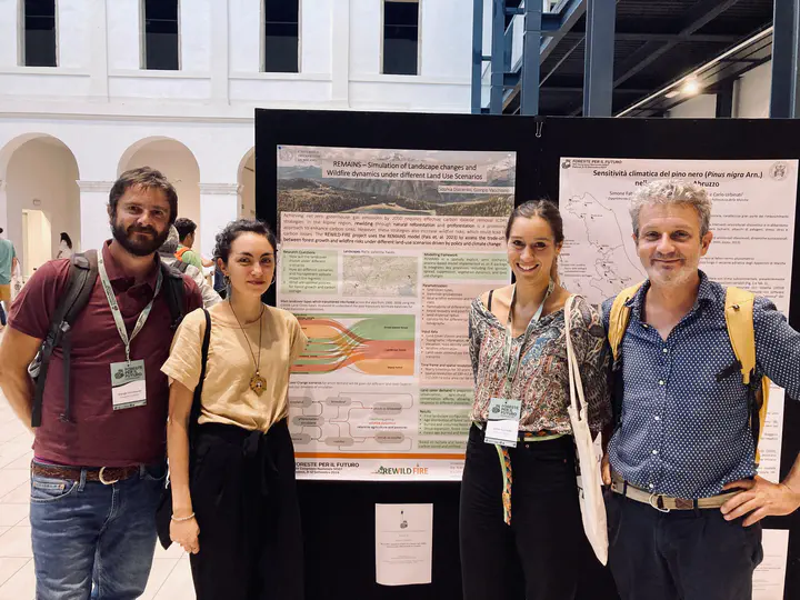
Poster presentation at the XIV SISEF Congress

Sophia Djacenko and Giorgio Vacchiano presented a poster about the evaluation of stem curvature and volumetric estimation of the Salerno forest domain using LiDAR technologies at the XIV SISEF Congress.
Abstract: Today, the sustainable management of Italy’s forests requires the use of accurate data to optimise the use of wood resources. In recent years, the use of innovative Precision Forestry technologies, such as the LiDAR (Light Detection and Ranging) system supported by stable ground platforms, has proven to be fundamental for the complete extrapolation of dendro-auxometric data within forest environments. Recently, theHandHeld Laser Scanner (HLS) emerges as a tool applicable in various forest areas, offering innovative field detection capabilities for direct volumetric estimates of trees, indicating a robust reliability index. In the present study, we examine the use of HLS surveys to assess and classify the stem curvature of four hundred and fifty standing trees of certain species (Fagus sylvatica, Quercus cerris and Castanea sativa) in order to identify differences between forest populations characterised by variations in wood quality by use. In addition, dendrometric information was extrapolated from the same specimens and new cubature tables were produced for the drafting of the new forest management plan of the ‘Cerreta, Cognole, Fasce Boscate di Persano e Calvello, Mandria Cuponi e Vesolo’ forest domain of the province of Salerno. For the field survey, forty-five HLS scans were carried out with the aid of Geoslam Zeb-Horizon by executing star-shaped walks, considered the best path according to recent literature, on areas of best representation of the forest area under examination, characterised by coppices initiated with high trunk and by stems of agamic origin. The evaluation of stem curvature follows reference points defined through the use of a specific tool within the LiDAR 360 software called ‘tree’sstraightness’, assigning an individual score for each stem from 1 (indicative of reduced straightness) to 7 (indicative of improved straightness), based on deviations observed in the point cloud from a linear trajectory in the first 5 metres of the stem, in accordance with the protocol established by Macdonald et al. It was therefore possible to differentiate the qualities of the tested populations using the following quality classes (A-E) based on the proportion of trees assessed in each of the seven classes of ‘straightness’ scores. The results highlight varying percentages of stem straightness scores in different forest areas, providing a prescriptive classification system for forest quality and indicating useful decision-making information for forest owners and managers. The integration of these technologies and knowledge has the potential to revolutionise sustainable forest planning by facilitating the establishment of new benchmarks.
Check-out the poster .